Under a five-year IDIQ contract with the USDA Forest Service, Stockwell Engineers provided cadastral surveying services for the retracement of three historic homestead entry surveys (HES) within the Black Hills National Forest in Lawrence County, South Dakota. The project included monument recovery, encroachment surveys, line posting, monument replacement, and the preparation of a Certificate of Survey, survey report, and certified corner records.
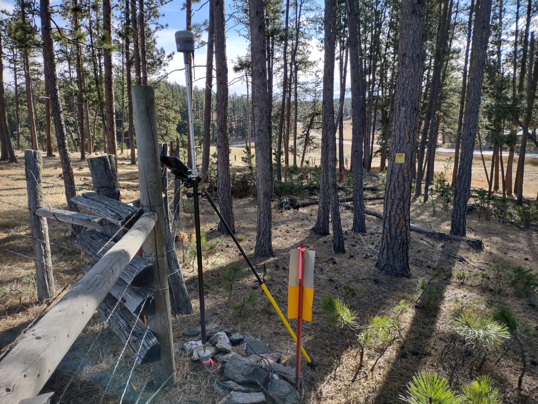
Our team began with records research, coordinating with the Forest Service and private landowners to secure access and review historical survey documentation. Using GPS static observations and an NGS OPUS solution, we established UTM 13 coordinates and conducted a thorough search for existing public land survey system and HES controlling corners. This data was used to retrace boundaries and identify potential encroachments or conflicts.
After reviewing findings with the Forest Service, our Professional Land Surveyor finalized the retracement survey and completed monument replacement, line posting, and documentation. The final deliverables included a certified Certificate of Survey, Surveyor’s Report, AutoCAD drawings, boundary closure reports, and recorded land corner records.
Through careful research, fieldwork, and collaboration with the Forest Service and landowners, Stockwell provided accurate boundary retracement and documentation to support ongoing land management in the Black Hills National Forest.