Hector-Ajax Pipeline Construction Surveying
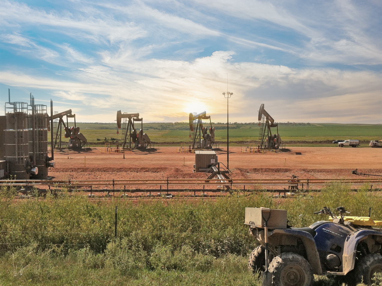
We sub-consulted on a project Marathon Oil and Tesoro Corporation with surveying tasks necessary for the construction of the Hector-Ajax Water Pipeline System and the Connolly Gathering System located in Dunn County, North Dakota.
The route of this project was about 130 miles long. We began by assisting with topographic survey of the existing conditions for the pipeline route, with all marked underground utilities being located. In addition to marking all the underground utilities, we marked above ground utilities, road crossings, fences and wetland crossings. Also staking of the proposed 100’ right of way, oil and salt water centerlines with 25’ foot minimum separations staked at 200 foot intervals, and all points of intersections or line of sight of the entire route. Staking was also completed for the horizontal direction boring locations at road, river and wetland crossings. We also provided on call staking to replace construction stakes that were destroyed by cattle or that needed to be replaced due to the confined work space during the construction of the pipelines.
Cataloging oil pipe heat numbers, x-ray numbers, pipe lengths, pipe numbers, segmented fittings, pipe sizes, pipe cover depths and field bends using both hand written catalog sheets and Trimble TCS2 data collectors, as well as using the data dictionary attributes entries collected during the as-built survey. Data was collected at each weld seam and any fabricated or field bends (ie: over bends, under bends, right or left bends).This project ran over nine different townships. All 150 section corners were located and used in the creation of the utility easement plats.
In addition to the surveying that was provided we also assisted the pipeline inspectors with quality control of the pipeline ensuring that all minimum pipeline spacing and depths of cover were met. Upon the completion of the project, as-built data was collected for both the salt water and oil pipe-lines. On average each pipe segment length was 40 linear feet. Data collected for the water distribution system was collected at 100 foot intervals and at each coupling. We also collected the final topographic as-built surface data following construction.
Get In Touch


